The National Weather Service has issued a Flood Watch for the region through late tonight.
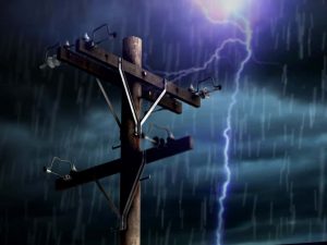
Flash flooding caused by excessive rainfall remains a significant concern for the region.
From this morning through late tonight, excessive runoff is expected to lead to flooding in rivers, creeks, streams, and other low-lying, flood-prone locations. Poor drainage areas and urban regions are particularly vulnerable to flash flooding.
Additionally, a Flood Watch remains in effect from this evening through Wednesday morning for all of southwest Indiana and parts of southeast Missouri, southern Illinois, and northwest Kentucky.
From this evening through Wednesday morning the flooding of rivers, creeks, streams, and low-water crossings is possible, particularly in areas with poor drainage.
Urban flooding is also a concern.
Multiple rounds of thunderstorms are expected tonight through Wednesday morning, with widespread rainfall amounts of 2 to 4 inches predicted. Some areas may receive locally higher amounts, leading to isolated to scattered instances of flash flooding due to high rainfall rates and already saturated soils.
Residents in the affected areas are advised to remain vigilant, monitor weather updates, and be prepared to take action if flooding occurs. Stay tuned to local news channels and weather stations for the latest information and updates.